Day 1: Here we go! From Garmisch-Partenkirchen to the Bernadeinsteig
Garmisch-Partenkirchen to the Bernadeinsteig
A short stage that can easily be started after midday. Wide range of accommodation options at the end of the stage.
- Well-maintained path
- Moderately steep
- Places to stop for food available
Route length 0 km Walking time 0 hours Easy stage This stage runs exclusively on well-maintained paths and along good infrastructure.
Endurance
Difficulty
Variety
Infrastructure
Best weather, freshly packed backpack: at last, the first kilometers of my Alpine crossing are ahead of me. In the morning I set off on the first of many, many kilometers toward Italy; after a stop at the Kreuzeckhütte, I continue the first stage to the Bernadeinsteig, where I’m allowed to pitch my tent in complete solitude on hut grounds. My day’s route therefore follows the main L1 route, but takes a small detour to the very beautiful Osterfelder descent and ends at a self-catering hut, which lies at about kilometer three of the second L1 stage.
A quiet start in Garmisch-Partenkirchen
After checking the weather on the first evening and making sure that good weather was expected throughout the first day, I decided to take a relaxed start into the Alpine crossing.
After my alarm woke me at the youth hostel in Garmisch-Partenkirchen shortly after eight o’clock, I was able to enjoy a hearty, energy-packed breakfast first. I check out of the exceptionally well-equipped youth hostel and stroll the few meters to the official starting line of the L1, Garmisch-Partenkirchen station. It lies exactly between the centers of Garmisch and Partenkirchen.
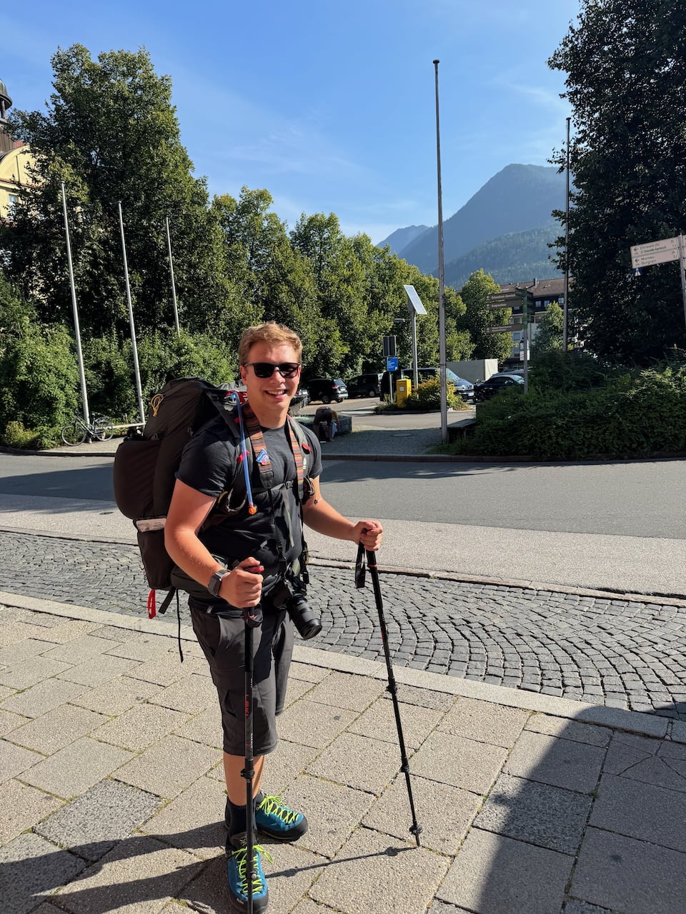
There I ask an older couple if they can take a quick proof photo of me in full hiking gear, take one more deep breath, and then it’s time: "Alpine crossing, here we go!"
From the station exit I turn right and pass underneath the station via the pedestrian underpass. I stick to the hiking guide’s GPS track and follow the path to the large yellow building of the Zugspitzbahn. In the process I also realize a) how heavy my backpack is with the full water supply and b) how sensible it would be to put on a sun hat. It’s 28 degrees Celsius, the sun is blazing with full force and makes it clear that the first stage will be an exceptionally hot affair.
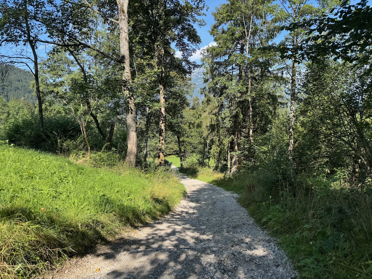
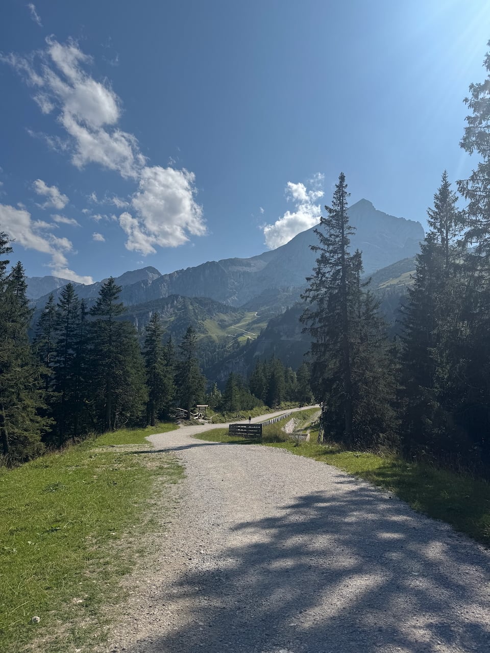
After 1,500 meters I leave the open field and enter the first forest of the adventure (of very many). The route runs on excellent asphalt past the first waypoint, the Kochelberg-Alm, where I take off my backpack for the first time after 2.5 kilometers. After a short breather, another round of sunscreen, and a deep breath, I shoulder it again and shortly afterward experience the first really strenuous meters: great paths, yes, but the steep incline pushes me to my performance limit in this temperature with my total weight (that is, including the backpack) of over 115 kilos.
In general, it would become clear over the course of the whole tour that my biggest enemy in terms of performance would not be my muscles or endurance, but the constant overheating in the blazing sun. On 10–20 percent inclines, 20 kilos of backpack weight become noticeable very quickly, especially above 25 degrees. The only thing that helps against it: drink, drink, drink (and maybe take a break now and then).
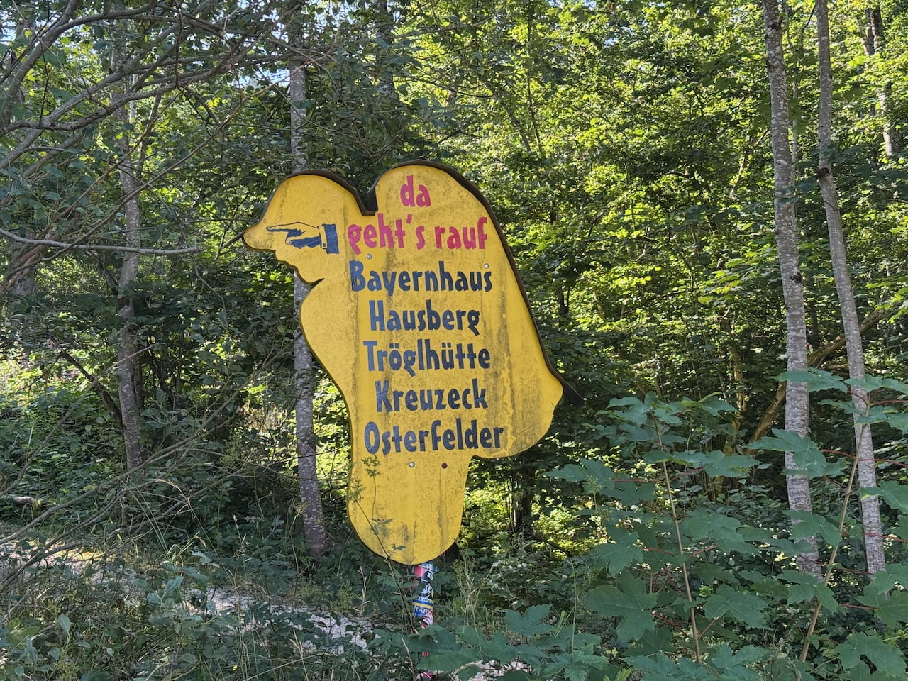
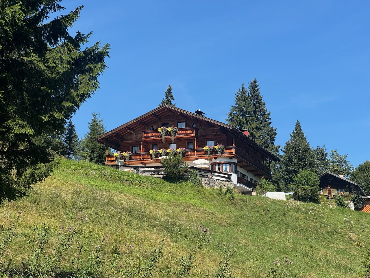
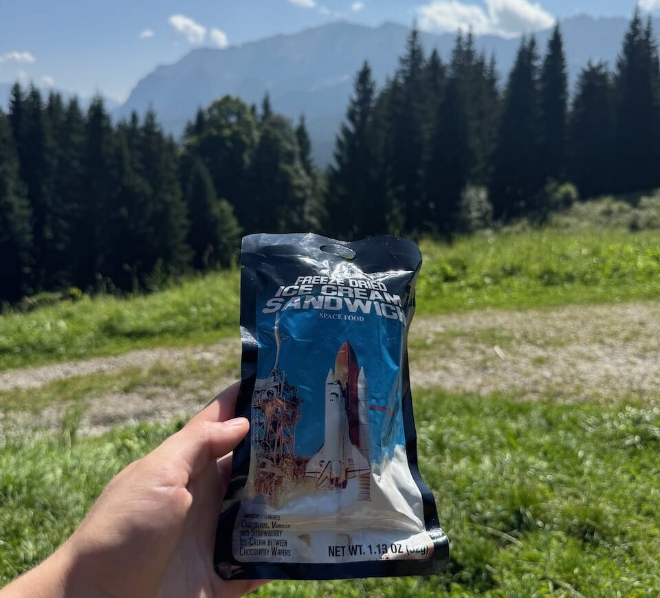
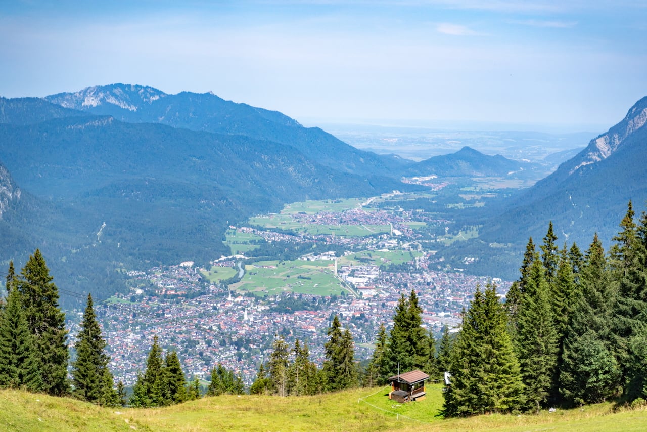
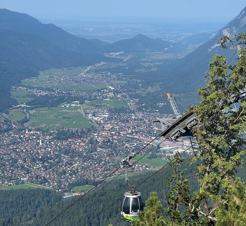
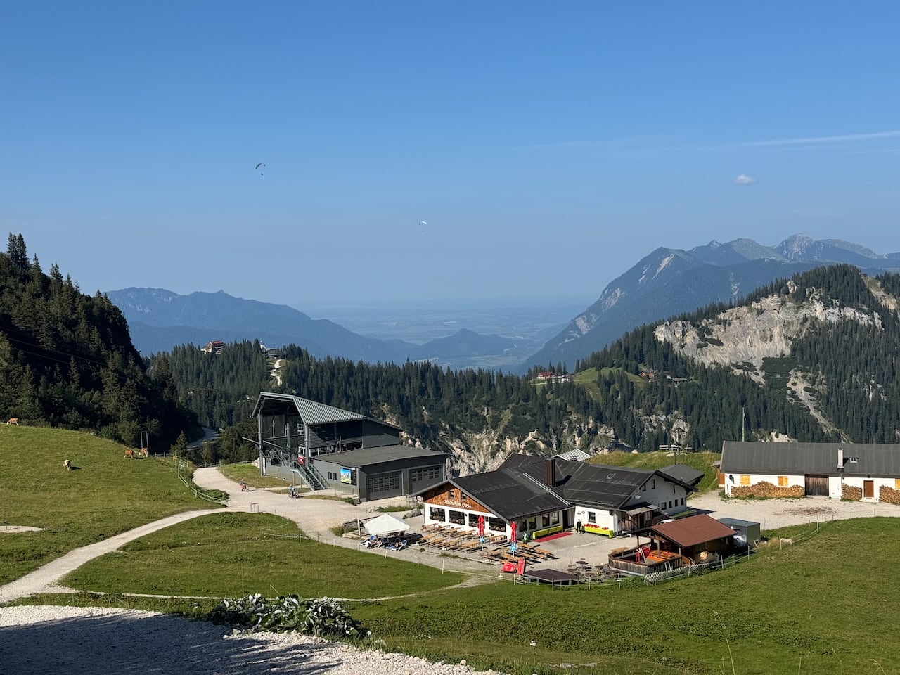
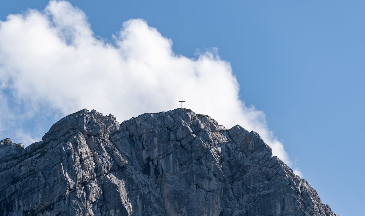
After the first steep meters behind the Kochelbergalm, I reach the Bayernhaus after a little over two hours, which is itself well signposted. There I enjoy a freeze-dried ice cream sandwich that I bought on a trip to the States at the Kennedy Space Center and had not yet found an occasion to eat. I pause for a moment, watch the activity around the hut, take a look at the Wettersteinwand, and set off again toward the Kreuzeckhaus. On the gravel path that I now follow, I shortly afterward reach a reservoir that presumably supplies the snow cannons in winter. For me, as someone not devoted to skiing, an absurd concept.
As beautifully as the water dances in the sun, unfortunately swimming in the lake is not allowed.
The path runs along the lakeshore between green grassy ski slopes and on to the Trögelhütte. Along the way I meet a few hikers and even people with strollers; one mother, who is walking uphill in the same direction as I am, is having considerable trouble pushing the stroller up the steep sections of the path. Shortly before I pass the Trögelhütte, I see the Eibsee glittering in the distance.
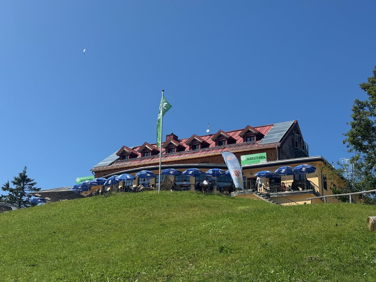
One kilometer behind the Trögelhütte I catch sight of the Kreuzalm, and shortly afterward the view opens up to the first stage destination of the main L1 route, the Kreuzeckhaus.
Motivation? Motivation!
The first stage of the L1 actually ends at the Kreuzeckhütte. But since I was still feeling very motivated and the day, with its dazzling weather (in the truest sense of the word), still promised many hours of sunshine, I set off after a good hour’s break at the Kreuzeckhütte to already begin the second stage.
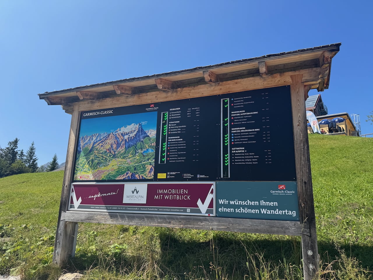
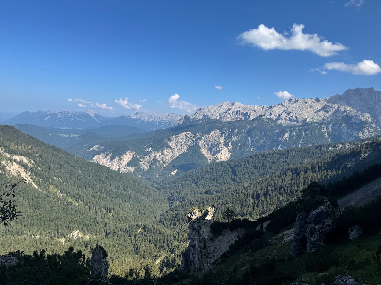
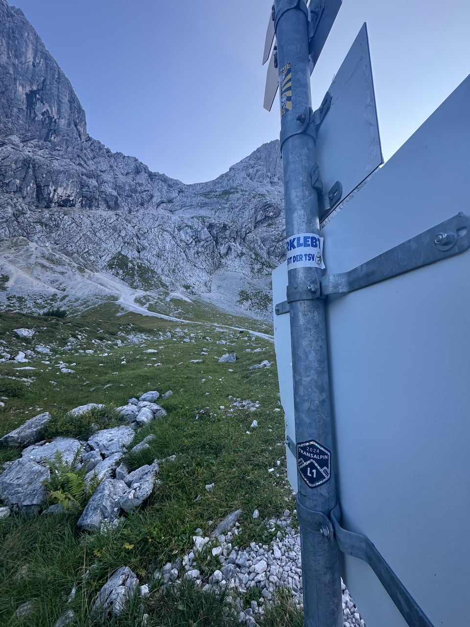
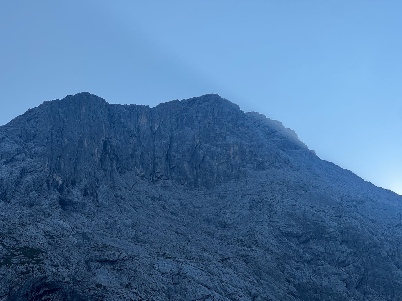
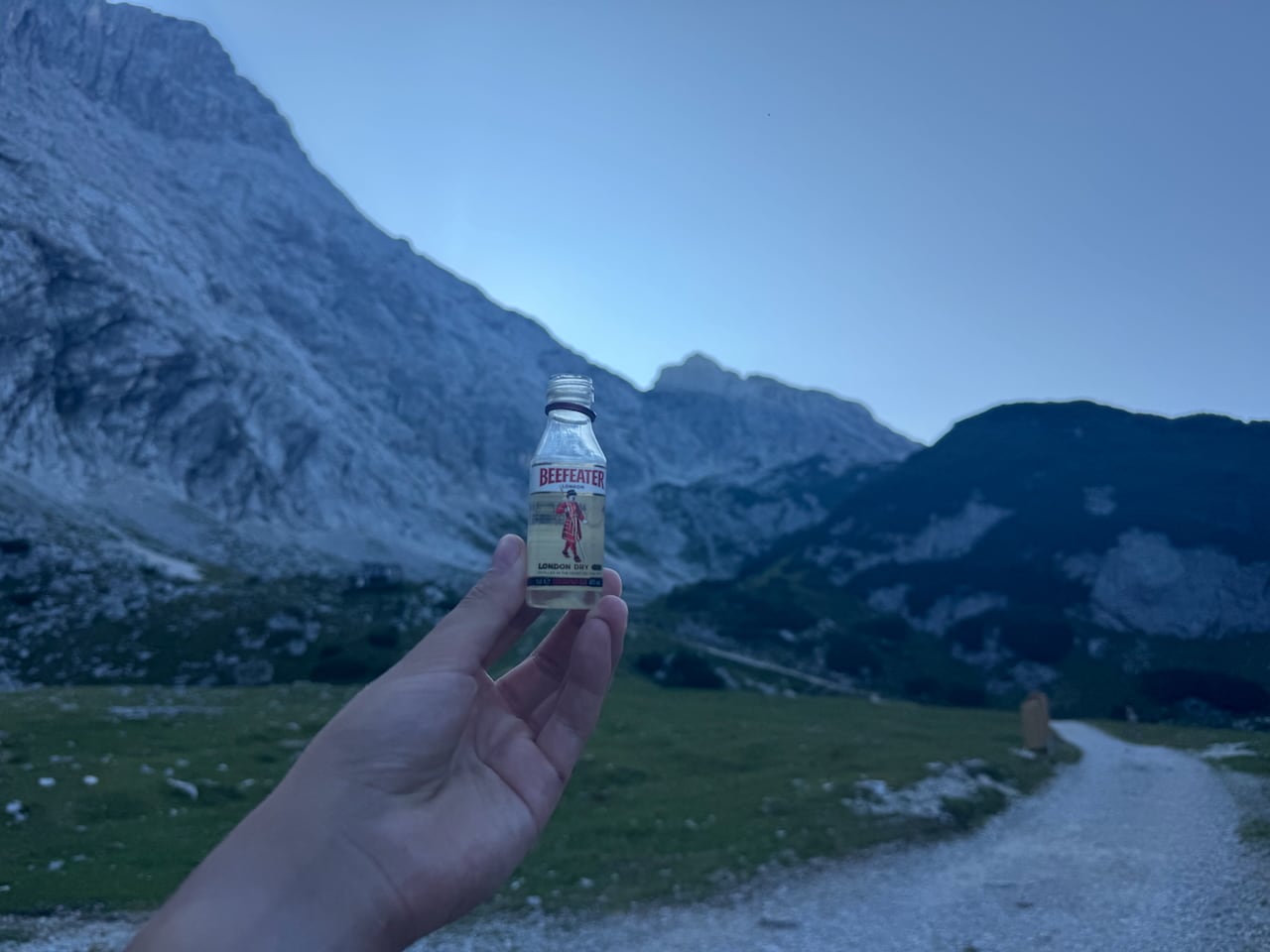
Passing a hiking information board with details on hikes in the Zugspitz mountains, I walk the first meters on good gravel, along a path heavily frequented by cyclists, and on to the Hochalm. The second stage actually runs along the Bernadeinsteig, but because I missed the turnoff for it, I took the path to the Hochalm instead. A cable car also runs from here. From there I turn onto a fairly steep path toward the Osterfelder descent. After the steep section, the path opens up a wonderful view of the limestone cliffs of the Osterfelder descent; during a short break I first meet a hiking group who ask about my journey and the huge backpack. A few minutes later a Czech climbing group comes by as well and gives me a gin from their supply, which is remarkably large for climbers.
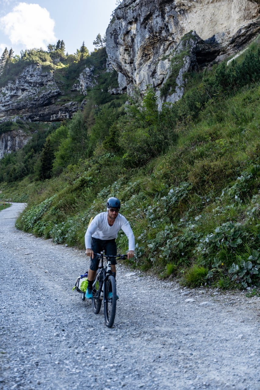
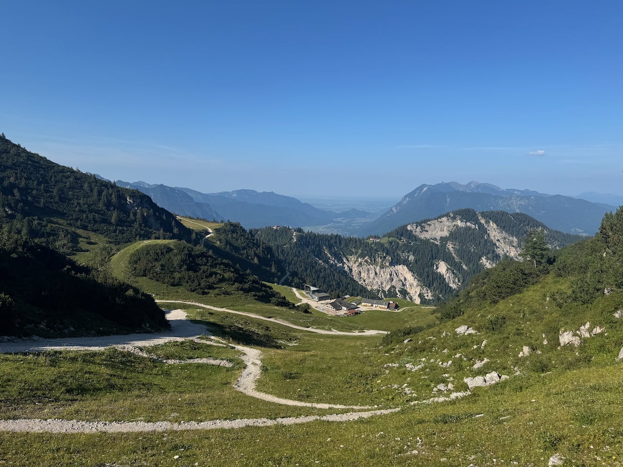
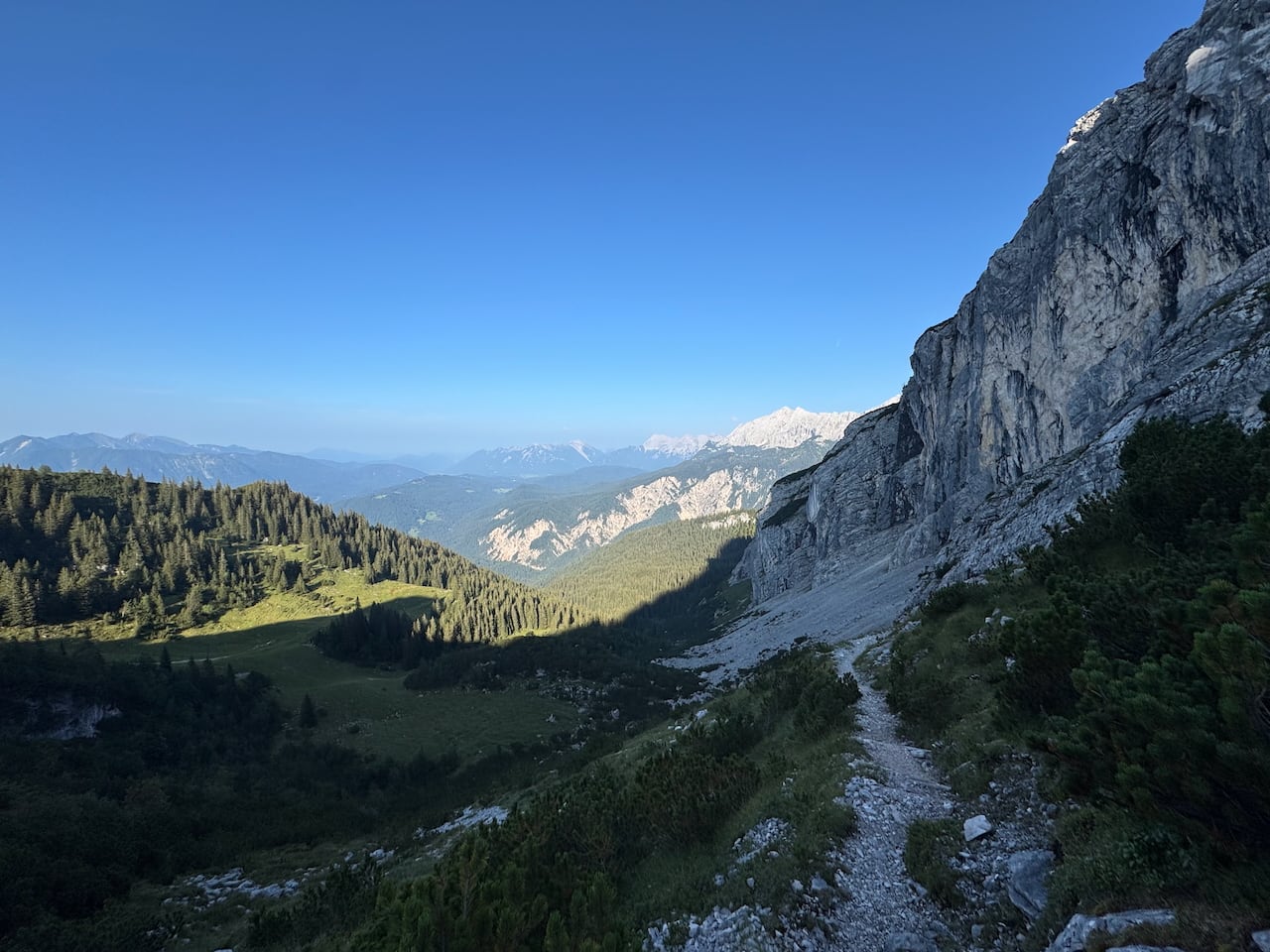
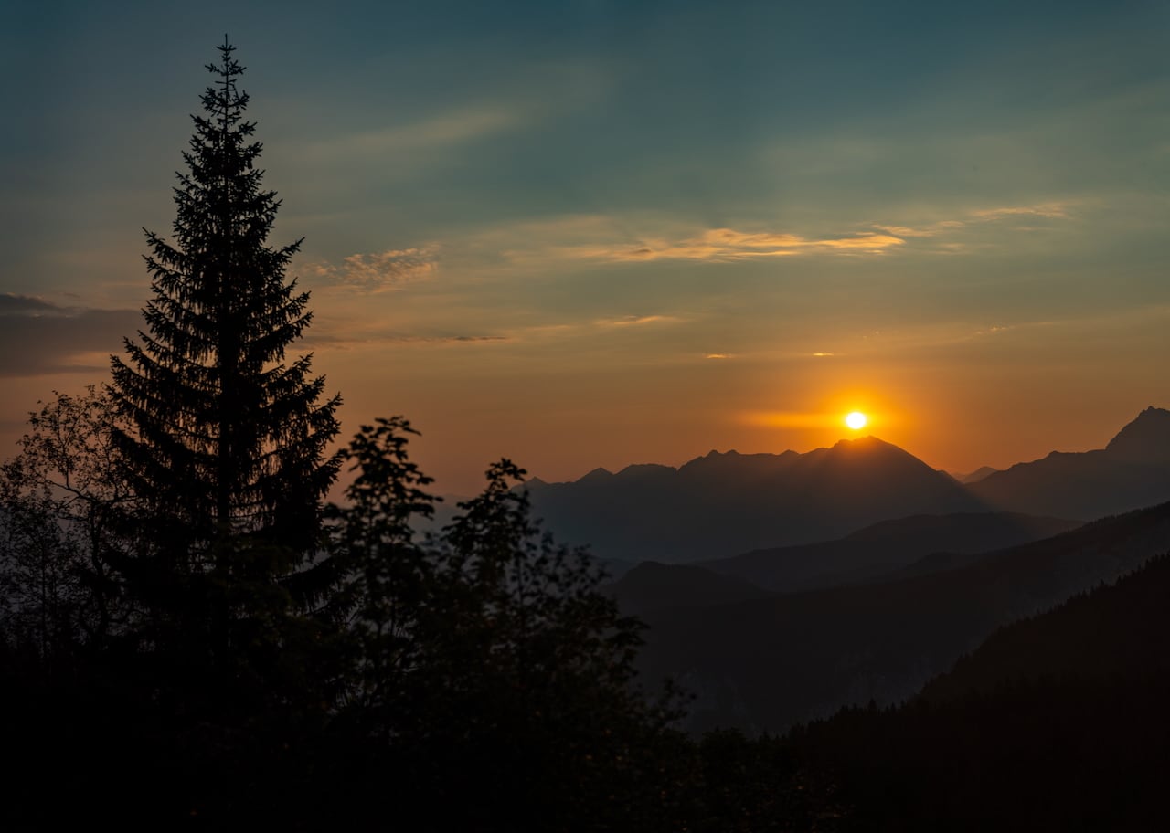
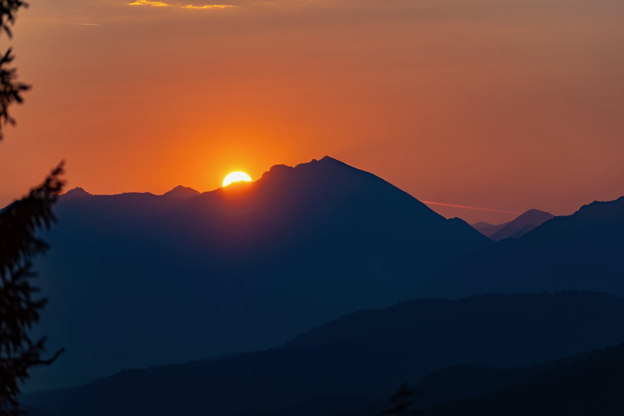
After the break, in the early dusk I set out on the final stretch of the day: on a connecting section from the Osterfelder descent, many switchbacks wind their way in complete solitude to the Bernadeinsteig.
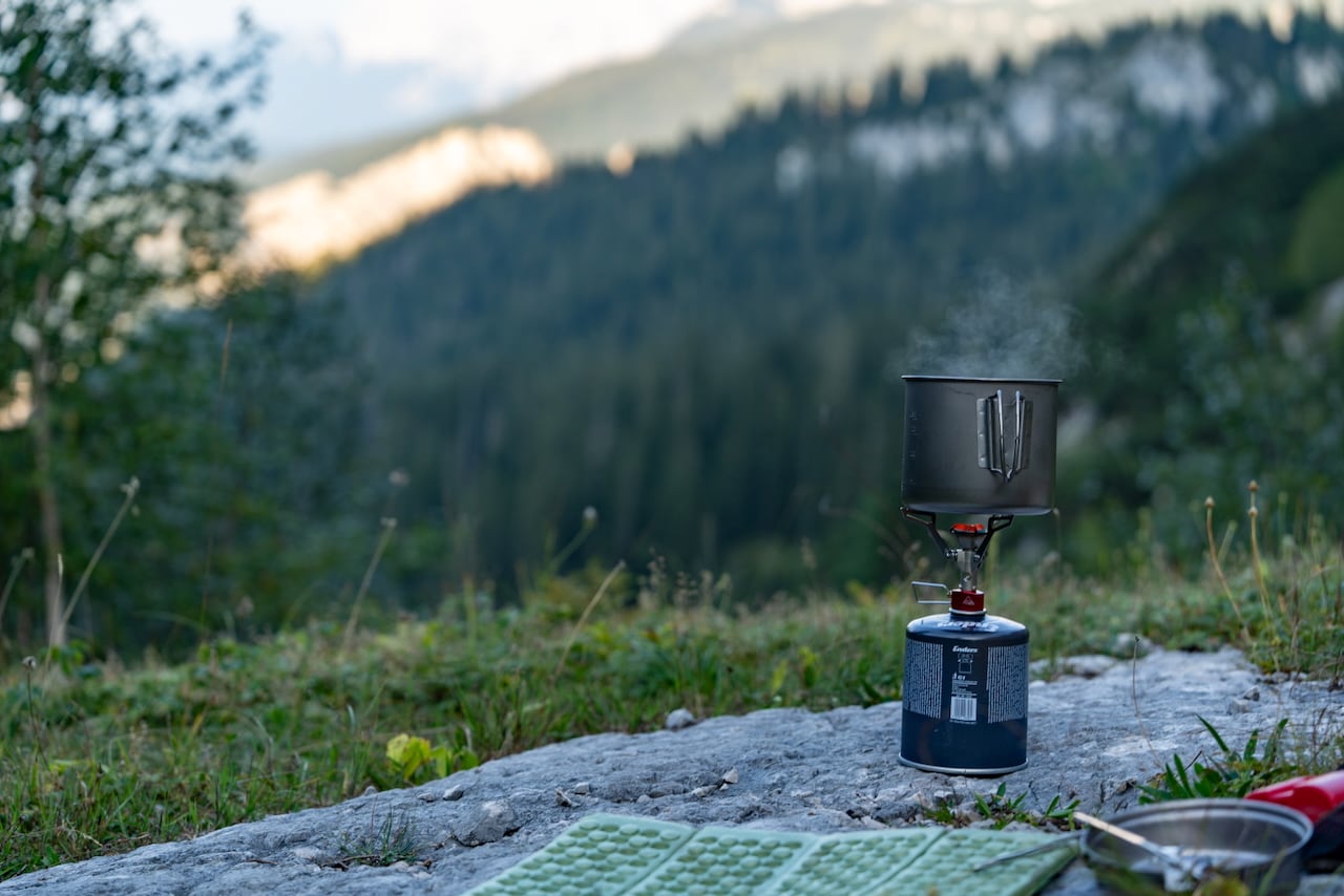
After pitching my tent (in agreement with the property owner, of course), I spend the evening cooking pasta, taking a few photos, and going to sleep early so I’ll be well prepared for the second day and an early departure.